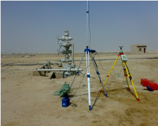
We offer our experience in surveying and remote sensing as well as in GIS field. The experience is related to the following processes that could be done with high efficiency and accurate results which are compatible with spatial geo-database.
Surveying:
In this field we have highly trained and qualified teams who can do different operations such as:
Remote Sensing:
Our consultants can work with different types of space images and make all the classification, models, and mapping due to the Clients Requirements. All the mentioned remote sensing techniques are done using sophisticated software ERDAS9.0 and ArcGis9.
GIS and Building of Geospatial database our company has the ability to establish all the GIS layers and their related attributes. Our consultants are dealing efficiently with GIS software and the required extensions. Our IT s is working on Oracle servers as well as ArcSDE servers.
We could build a full geospatial data base which connected to many users. Also we could build remote control operation room to monitor all the pipes and the pressure of fluid.
If you have any construction or inspection work need, simply
call us anytime.
+964-7713584444 or Contact Us
Copyright © NYCO 2016. All rights reserved.
Developed by eSITE